EXPLORE YOUR NEXT ADVENTURE
One place to plan every mountain day
Discover routes, compare essential details, check equipment and safety guidance, and find places to stay near the trail.
• Six mountain activities
• Route discovery and planning
• Safety and accommodation in one place
SIX WAYS TO EXPLORE
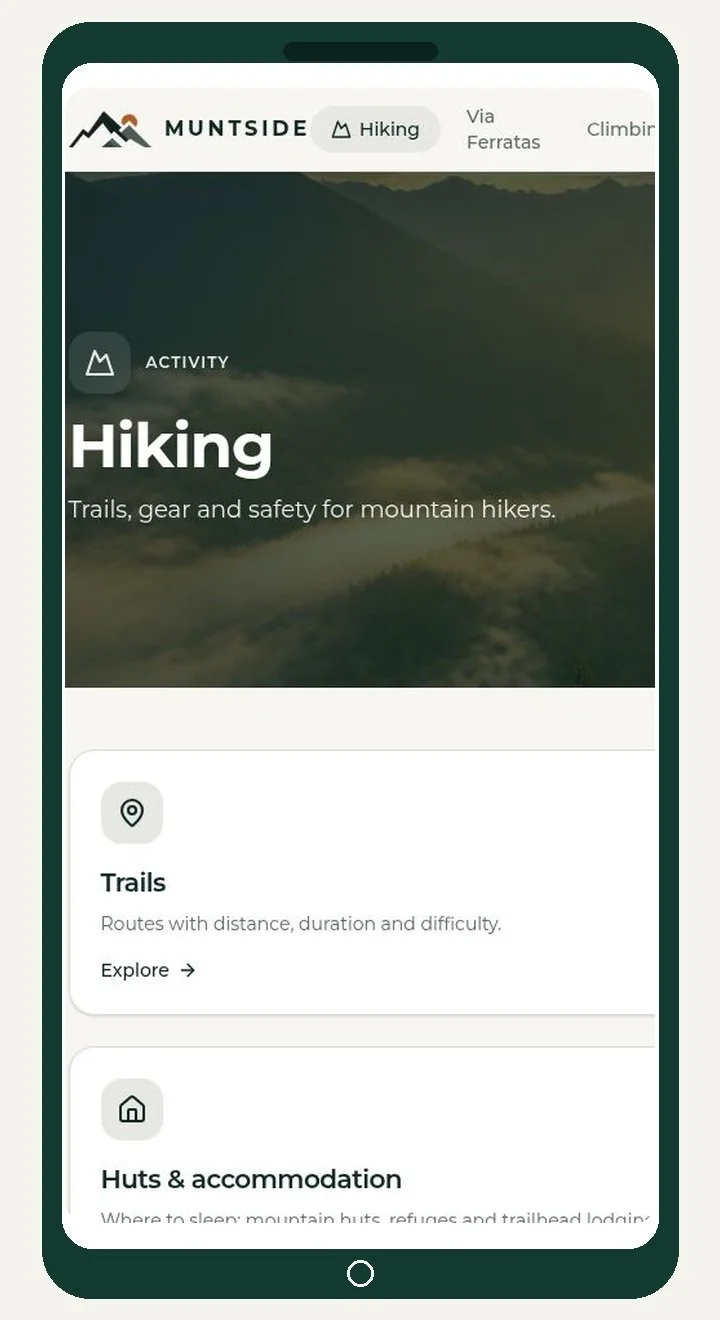
Start with the activity that fits your day
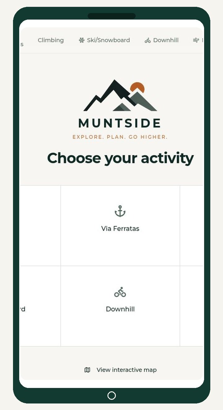
Muntside brings hiking, via ferrata, climbing, skiing and snowboarding, downhill mountain biking, and paragliding into one consistent platform.
• Dedicated hub for every activity
• Routes, equipment, stays, and safety
• Consistent navigation across the app
SEARCH AND COMPARE
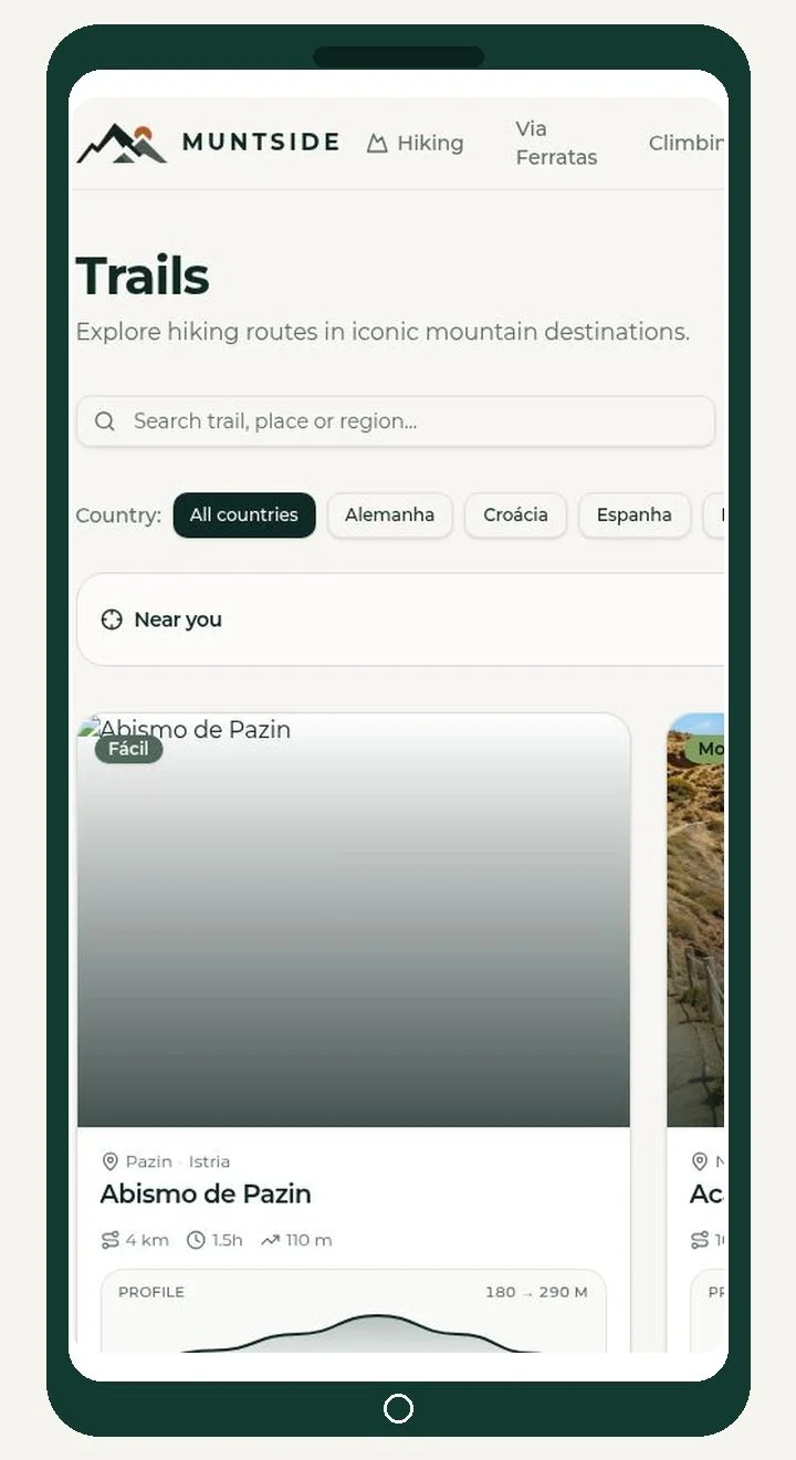
Find the right route faster
Search by destination, region, or route name. Filter by country and difficulty, or use your location to see what is nearby.
• Search by place or route name
• Filter by country and difficulty
• Compare distance, duration, and elevation
DETAILS BEFORE DEPARTURE
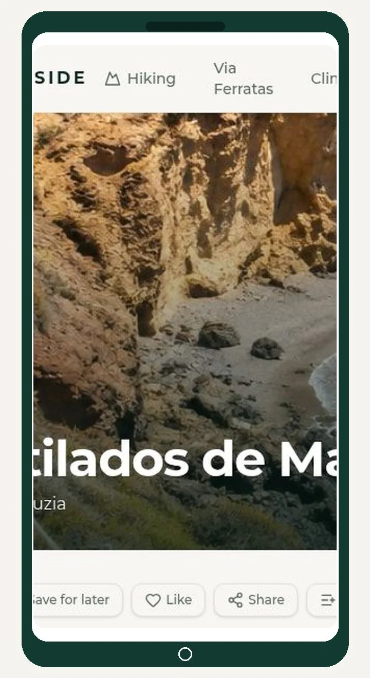
Plan with the details that matter
Review distance, duration, elevation, difficulty, weather alerts, access notes, signage, and directions before leaving.
• Save a route for later
• Add it to a personal list
• Share it or open directions
EVERYTHING IN ONE VIEW
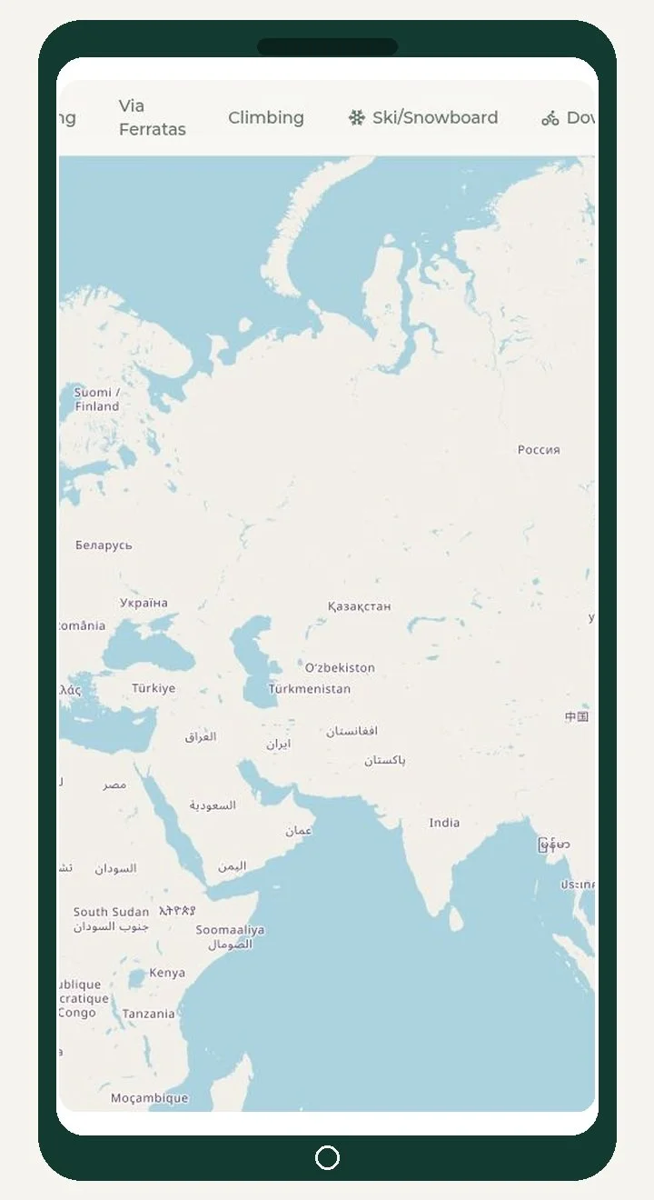
See the mountains on one map
Switch between hiking, via ferrata, climbing, skiing and snowboarding, downhill, paragliding, and mountain accommodation.
• Activity layers in one map
• Clustered markers for quick scanning
• Move from a global view to a local area
STAY CLOSE TO THE TRAIL
Find a place to stay near your route
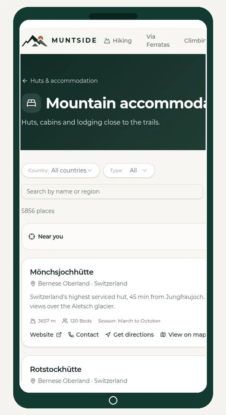
Search mountain huts, cabins, hostels, and campsites by country, region, and type. Open contact details, directions, and map locations from each listing.
• Filter by country and accommodation type
• See altitude, beds, and season
• Open contact details and directions
SAVE AND CONTRIBUTE
Keep your plans and help the platform grow
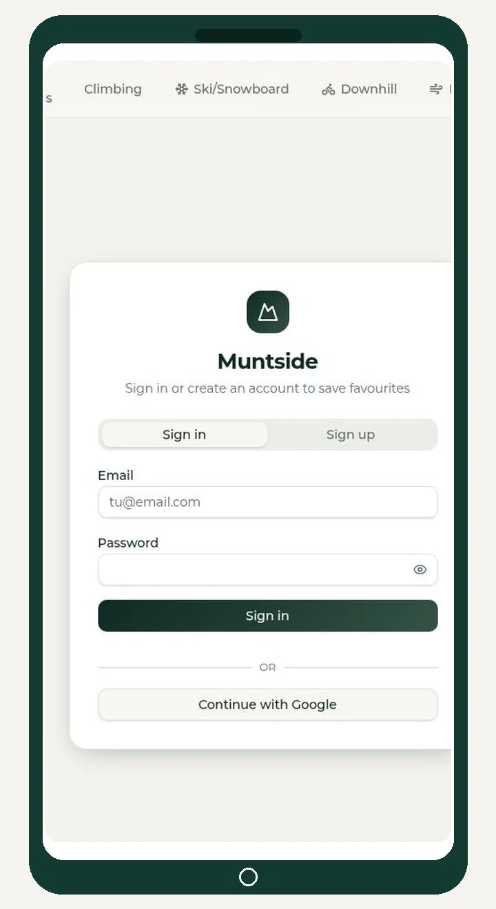
Create an account to save favourites, build personal lists, and return to routes later. Add photos, ratings, comments, or new routes to share local knowledge.
• Save favourites and personal lists
• Return to planned routes
• Contribute photos, ratings, and local knowledge
OPEN MUNTSIDE
Your next mountain plan starts here
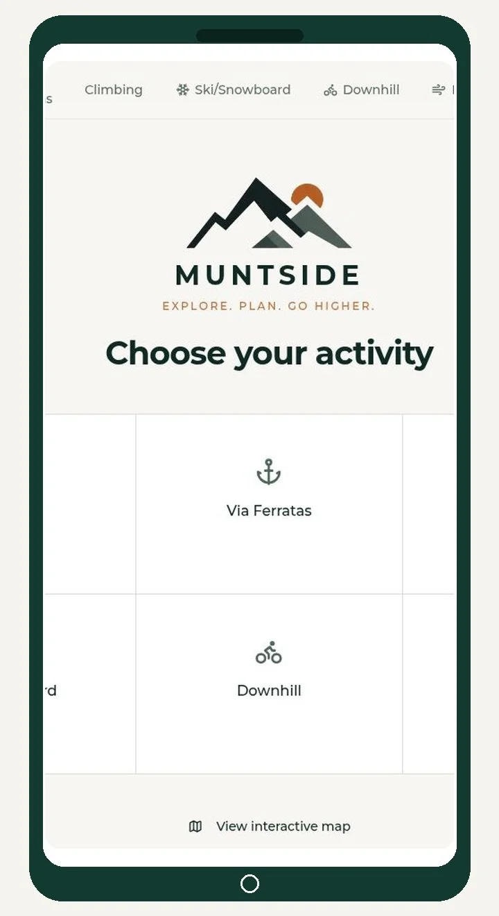
Choose an activity, explore the map, and find the information you need before heading outside.